Scroll to start
.cover {
  bottom: 0;
  opacity: 1;
  background-size: auto 80%;
  background-position: center center;
  background-repeat: no-repeat;
}
.overview {
  opacity:0;
} 
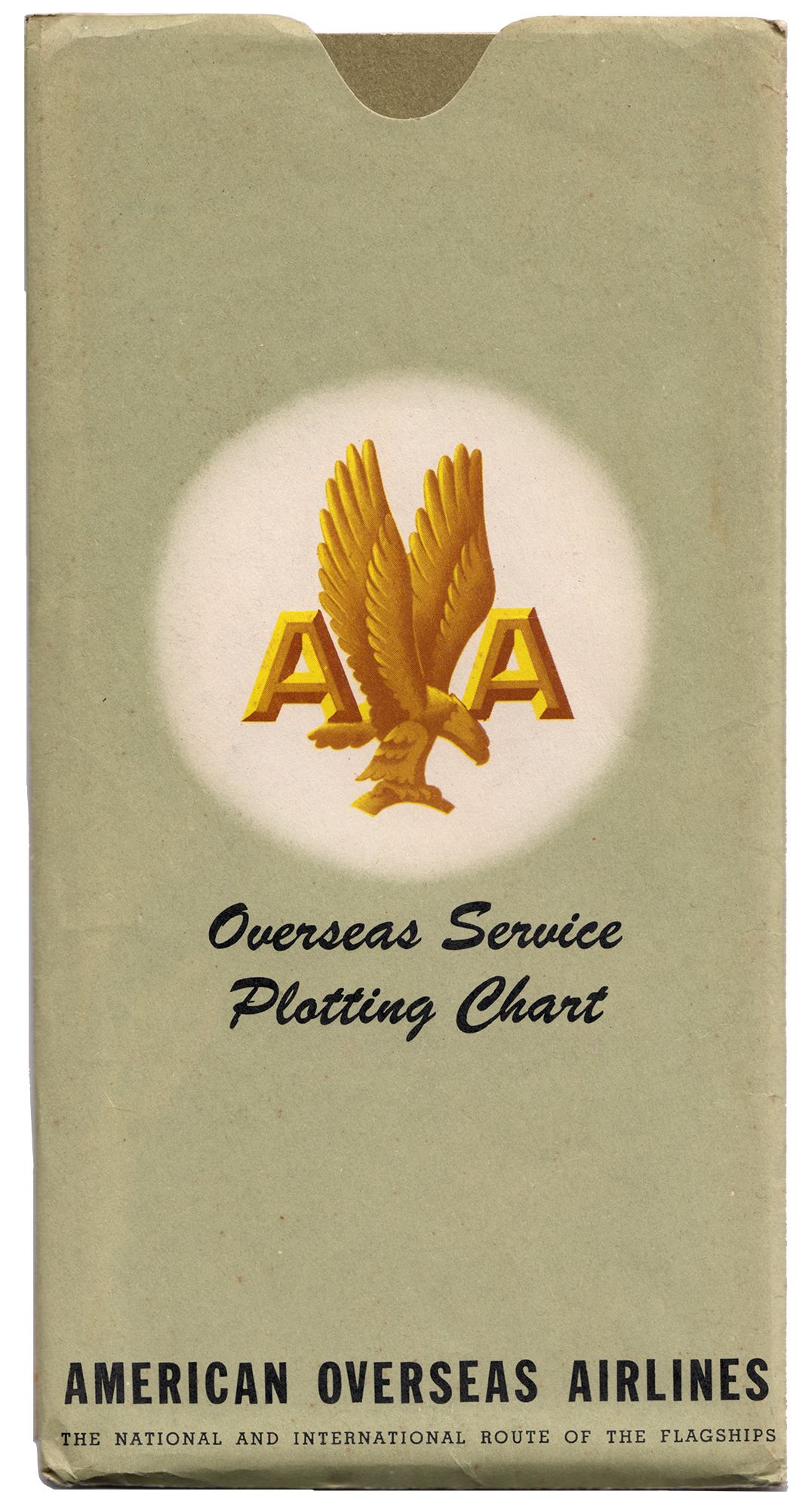
American Airlines Overseas Service Plotting Chart
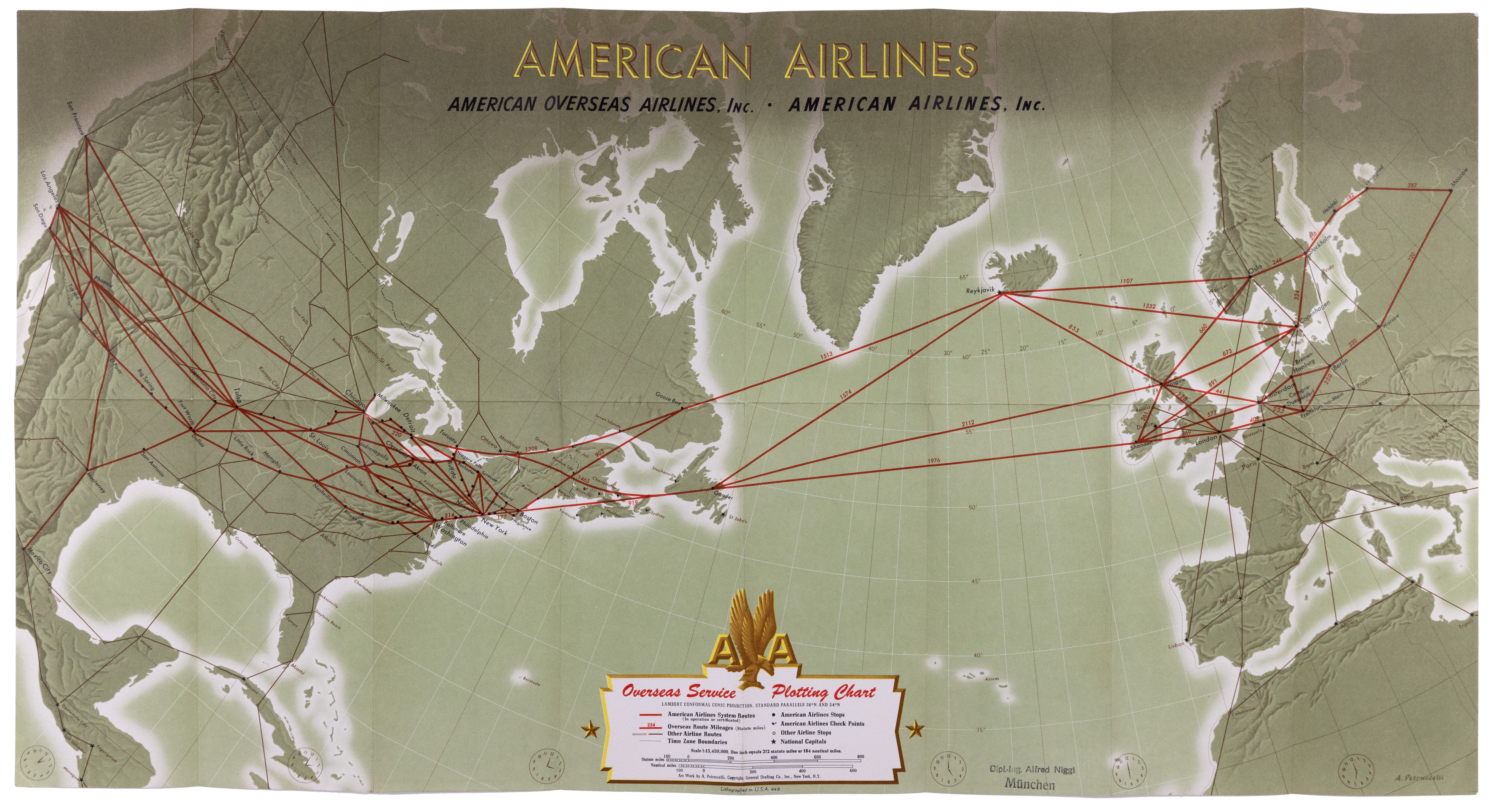
This map is an early analog precursor to the digital moving map printed on an almost parchment type paper that you can write on.
.instructions {
  opacity:0;
}

.cover {
  opacity:1;
}
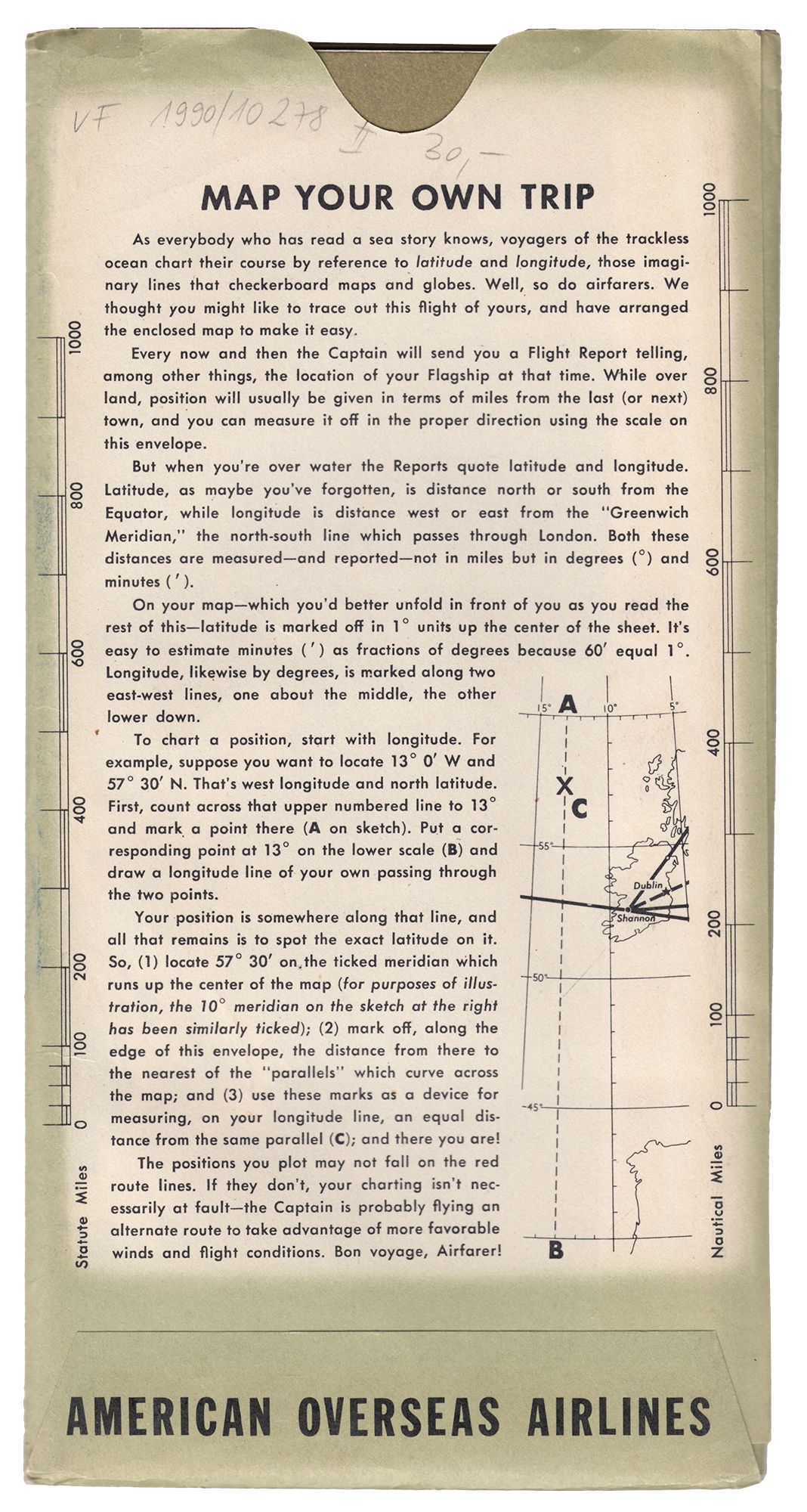
The map comes with detailed instructions on the back, describing in detail how the you can plot the route you are flying.
.cover {
  bottom: 0;
  opacity: 0;
}

.instructions {
  opacity:1;
  background-size: auto 80%;
  background-position: center center;
  background-repeat: no-repeat;
  bottom:0;
}

.overview {
  opacity:0;
} 
Published just at the end of the Second World War.
.cover {
  bottom: 100%;
  opacity: 0;
}

.instructions {
  opacity:0;
}

.overview {
  bottom:auto;
  transition: all 1.5s ease-in-out;
  opacity: 1;
  transform: scale(1);
  transform-origin:0 0;
  background-size:97% auto;
  background-repeat: no-repeat;
  background-position: center center;
} 
The bright red numbers is the distance in miles between airports.
.overview {
  transform: scale(4) translate(0, 0);
  transform-origin: 50% 50%;
  background-size:none;
}
The map doubles up as educational, teaching passengers how to plot their longitude and latitude while flying, making the time pass quicker.
.overview {
  transform: scale(4) translate(0, 0%);
  transform-origin: 70% 45%;
}
There is a time zone in indicator and a stamp from the previous owner a Mr. Dipl. Ing Alfred Niggi (an engineer).
.overview {
    transform: scale(3.5) translate(0, 0);
    transform-origin: 69% 79%;
}
Detailed outline of legends, indicating routes, cities, distances and so forth. This map more than any others carry the hallmarks of an archival object, not a piece of branding or advertisement. A practical tool to place the you the passenger in the world.
.overview {
    transform: scale(3.5) translate(0, 0);
    transform-origin: 50% 80%;
}
This particular plotting map was never used, so we'll never know the route Alfred Niggi flew. Perhaps he wanted to keep it pristine.
.overview {
  bottom:auto;
  opacity: 1;
  transform: scale(1);
  transform-origin:0 0;
  background-size:97% auto;
  background-repeat: no-repeat;
  background-position: center center;
}